
Bird watching has evolved from a casual hobby into a powerful tool for conservation and scientific research. With the rise of smartphone technology, everyday citizens can now contribute valuable data about bird populations through user-friendly apps. These citizen science initiatives have revolutionized how researchers monitor avian species, track migration patterns, and identify population trends over time. Whether you’re a seasoned birder or a curious nature enthusiast, these digital tools offer an accessible way to participate in meaningful wildlife conservation while enjoying the beauty of birds in their natural habitats.
Understanding Citizen Science and Its Impact on Ornithology

Citizen science refers to the collection and analysis of data by members of the public, typically as part of a collaborative project with professional scientists. In ornithology, this approach has proven invaluable for gathering vast amounts of data across wide geographic regions that would be impossible for professional researchers alone to cover. The Cornell Lab of Ornithology pioneered many of these efforts, recognizing that millions of bird enthusiasts could contribute meaningful observations if given the right tools. Today, data collected through citizen science apps helps researchers track population declines, understand how climate change affects migration patterns, and identify critical habitats for conservation efforts. The collective power of these observations has led to numerous scientific publications and has directly informed conservation policy decisions around the world.
Essential Equipment for Digital Bird Tracking

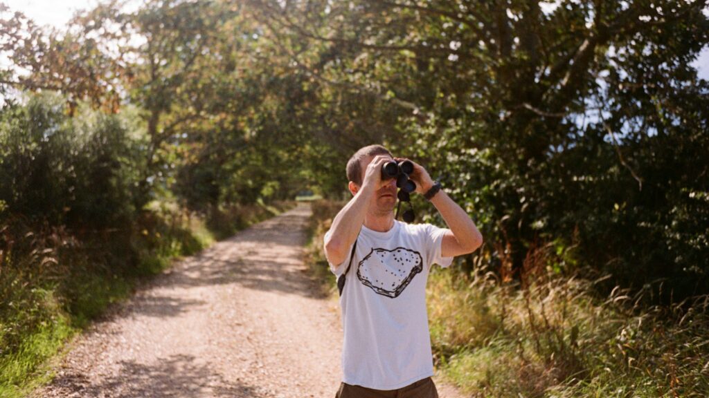
Before diving into citizen science apps, having the right supporting equipment will enhance your experience and the quality of your data contributions. A pair of quality binoculars remains essential for accurate bird identification, with 8×42 magnification offering a good balance between field of view and detail for most birding situations. A smartphone with a decent camera capability serves as your primary recording device, while a portable battery pack ensures you won’t lose power during extended field sessions. Consider investing in a smartphone adapter for your binoculars or a spotting scope to capture better photographic evidence of rare or difficult-to-identify species. Additionally, a weather-resistant field guide (digital or physical) provides backup reference material when network connectivity is limited in remote locations.
Getting Started with eBird: The Leading Bird Tracking Platform
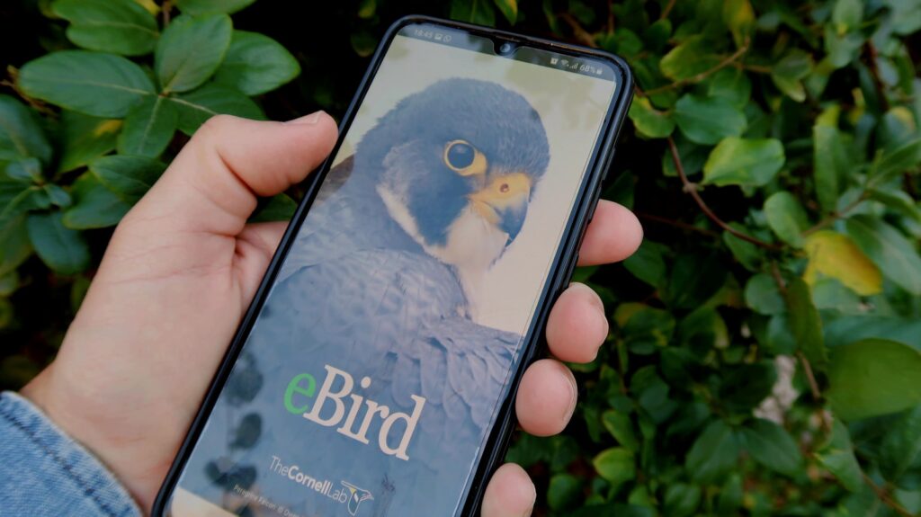
eBird, developed by the Cornell Lab of Ornithology, stands as the most comprehensive citizen science platform for bird observations worldwide. To begin, download the free eBird Mobile app and create an account, which will sync across all your devices and the web platform. The app allows you to create “checklists” during birding sessions, recording the species you observe and their counts in specific locations and time periods. eBird cleverly uses your location data to present likely species in your area, making identification more manageable for beginners while still allowing for reporting rarities with supporting details. The platform includes built-in verification systems where unusual sightings are flagged for review by regional experts, ensuring scientific data quality. Beyond individual observations, eBird generates powerful visualizations of bird movements, hotspots, and population trends that you can explore to plan future birding trips.
Mastering Merlin Bird ID for Accurate Identification
The Merlin Bird ID app, also from Cornell Lab, serves as the perfect companion to eBird by helping users confidently identify birds they encounter. Unlike traditional field guides, Merlin uses a smart identification system that asks five simple questions about the bird you observed—size, color, behavior, location, and habitat—then presents likely matches based on your answers and location data. The revolutionary Photo ID feature allows you to upload a photo of a bird, and using machine learning algorithms, the app suggests possible species matches with remarkable accuracy. Merlin’s Sound ID function acts like Shazam for birds, recording and analyzing bird songs and calls in real-time to identify species by their vocalizations alone. The app continuously improves as more users contribute data, making it increasingly accurate for even challenging identifications that would traditionally require expert knowledge.
Contributing to Seasonal Bird Counts and Surveys
Beyond casual observations, citizen science apps coordinate massive organized counting events that generate crucial population data. The Christmas Bird Count, running for over 120 years and now digitally coordinated, invites participants to count all birds in designated circle areas during a specific 24-hour period in December. The Great Backyard Bird Count offers a more accessible four-day event in February where participants count birds for as little as 15 minutes in their own yards or local parks. Project FeederWatch focuses specifically on winter feeder birds from November through April, with participants logging regular counts of birds visiting their feeding stations. Many of these structured surveys now integrate directly with eBird or have dedicated apps, making participation simpler while ensuring data follows scientific protocols that maximize its research value.
Tracking Bird Migration Patterns Through Technology

Citizen science apps have revolutionized our understanding of bird migration by aggregating millions of observations into comprehensive visualization tools. eBird’s Status and Trends maps animate the ebb and flow of bird populations throughout the year, creating mesmerizing “year-round abundance” animations that show species’ movements across continents. The BirdCast app, developed by Cornell in partnership with meteorologists, uses weather radar data combined with citizen observations to forecast nocturnal bird migrations, helping users know when major migration events will occur in their region. Apps like iNaturalist incorporate citizen observations with geotagged photos to track unusual migration patterns or range expansions that might indicate responses to climate change. These technological tools have revealed previously unknown stopover sites that are critical for migratory species, directly informing conservation priorities for land protection.
Monitoring Rare and Endangered Species Responsibly
Citizen science apps provide powerful tools for tracking threatened bird populations, but require ethical consideration to avoid causing harm. Most platforms offer options to obscure exact locations of sensitive species like owls, raptors with active nests, or critically endangered birds that might attract too much attention from photographers or collectors. When reporting rare species, follow the app’s guidelines for documentation, which typically include clear photographs, detailed behavior notes, or sound recordings that help validators confirm the sighting. Maintain appropriate distances using spotting scopes or telephoto lenses rather than approaching closely, particularly during breeding seasons when disturbance can cause nest abandonment. The data you collect on endangered species can directly impact conservation efforts, as wildlife agencies increasingly rely on citizen science observations to supplement their limited monitoring resources and react quickly to population changes.
Using iNaturalist for Broader Ecological Context
While specialized bird apps provide depth, iNaturalist offers breadth by tracking all wildlife and plant species in an ecosystem, providing valuable context for bird observations. This comprehensive platform allows you to record birds alongside the insects they’re feeding on, the plants providing habitat, and other animals sharing their environment, creating a more complete ecological picture. iNaturalist’s community identification system leverages both artificial intelligence and human expertise to verify observations, often providing species-level identifications within minutes of uploading a photo. The platform’s “Projects” feature allows you to contribute to focused research initiatives, such as monitoring birds in urban environments or tracking interactions between specific bird species and plant resources. By using iNaturalist alongside bird-specific apps, you develop a better understanding of how birds fit into broader ecosystem dynamics and how changes in habitat or food sources might impact their populations.
Specialized Apps for Habitat-Specific Monitoring

Several citizen science initiatives focus on birds in particular habitats, offering specialized tools for monitoring these distinct ecological niches. The Marsh Bird Monitoring App helps track elusive wetland species like rails and bitterns using standardized protocols that include playback surveys and specialized data fields for habitat conditions. NestWatch provides tools for safely monitoring and reporting bird nests, collecting valuable data on reproductive success across species while teaching proper nest-checking techniques to avoid disturbance. The International Shorebird Survey app focuses specifically on migratory shorebirds using beaches, mudflats, and wetlands, collecting critical data on these declining species groups during their long-distance migrations. For seabird enthusiasts, the SeabirdsCount app allows coastal observers to record pelagic species from shore points, contributing to monitoring efforts for these difficult-to-study ocean-dwelling birds that face numerous threats from fishing practices and pollution.
Ensuring Scientific Validity in Your Observations

The scientific value of citizen science depends entirely on the accuracy and consistency of submitted data. Before heading into the field, familiarize yourself with the observation protocols of your chosen app, particularly regarding count methods, duration of observation periods, and required supporting documentation. Be honest about identification uncertainty, using features like eBird’s “spuh” options (e.g., “sparrow sp.” for an unidentified sparrow) when you cannot confidently identify a bird to species level. Record complete checklists whenever possible, noting all species observed rather than just unusual or interesting birds, as this absence/presence data provides crucial information about common species that might be declining gradually. Include behavioral observations and habitat notes when relevant, as these details often prove valuable for researchers analyzing factors affecting bird populations or responses to environmental changes.
Analyzing Your Data and Tracking Personal Progress

Beyond contributing to science, citizen science apps offer powerful tools to analyze your own birding data and track your development as a naturalist. Most platforms generate personal statistics showing your observation totals, species counts, and birding locations on interactive maps that build over time. eBird’s “Yard List” and “Patch” features help you monitor birds in locations you visit regularly, revealing patterns in migration timing and population changes in your immediate environment. The Life List functionality tracks all species you’ve ever observed, while year lists reset annually, creating engaging personal challenges that motivate continued participation. Many apps include notification systems alerting you to rare birds reported nearby or the first seasonal arrivals of migratory species, helping you strategically expand your observation skills. These personal tracking tools transform casual bird watching into a more intentional practice of ecological awareness that deepens your connection to local environments.
Joining Community Science Events and Challenges

Citizen science apps frequently organize community events and challenges that make data collection more engaging while generating valuable concentrated datasets. Global Big Day and October Big Day are 24-hour events where participants worldwide try to record as many bird species as possible, creating massive single-day snapshots of global bird distribution. Many platforms organize friendly competitions like eBird’s monthly challenges that encourage exploring new habitats or finding specific groups of birds, incentivizing participants to venture beyond their usual observation locations. Local Audubon chapters and nature centers increasingly coordinate neighborhood bioblitzes through apps, where volunteers intensively survey specific parks or natural areas over a weekend, documenting all bird species present. These community events provide excellent opportunities for beginners to learn from experienced birders while making meaningful contributions to scientific understanding of bird populations and distribution patterns.
How Your Data Influences Conservation Decisions
The observations you submit through citizen science apps directly impact real-world conservation efforts in numerous ways. Aggregated data helps identify Important Bird Areas (IBAs) that receive special protection status based on their significance to sensitive species, with citizen reports often providing the first evidence of these critical habitats. Wildlife agencies increasingly use eBird data to set hunting regulations for game birds and to time seasonal land management activities like controlled burns or mowing to avoid disrupting nesting periods. Conservation organizations leverage citizen science data when advocating for habitat protection, presenting evidence of declining species to policymakers with maps generated from millions of volunteer observations. In urban planning, bird data collected through apps has influenced decisions about building designs, lighting regulations, and green space requirements that reduce bird collisions and provide habitat corridors in developed areas.
By participating in bird monitoring through citizen science apps, you join a global community making tangible contributions to wildlife conservation. Each observation you record, no matter how common the species might seem, adds a valuable data point to our collective understanding of changing bird populations and their responses to environmental pressures. These digital tools have democratized scientific participation, allowing anyone with interest and a smartphone to contribute meaningfully to research that shapes conservation policy. As climate change and habitat loss continue to threaten bird populations worldwide, the role of citizen scientists becomes increasingly vital in tracking these changes and identifying solutions. Start with a single observation today, and you’ll not only enhance your own connection to nature but also help ensure that future generations will experience the same diversity of birds that enrich our world.