
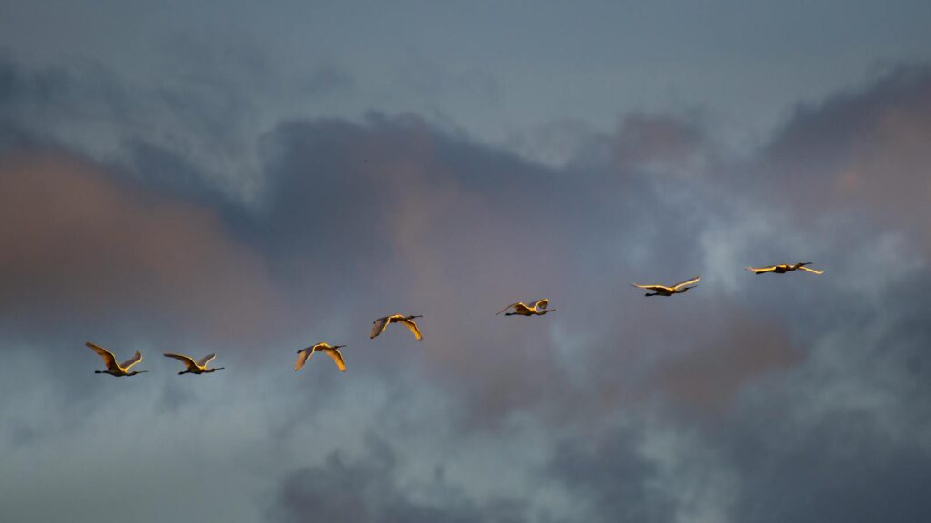
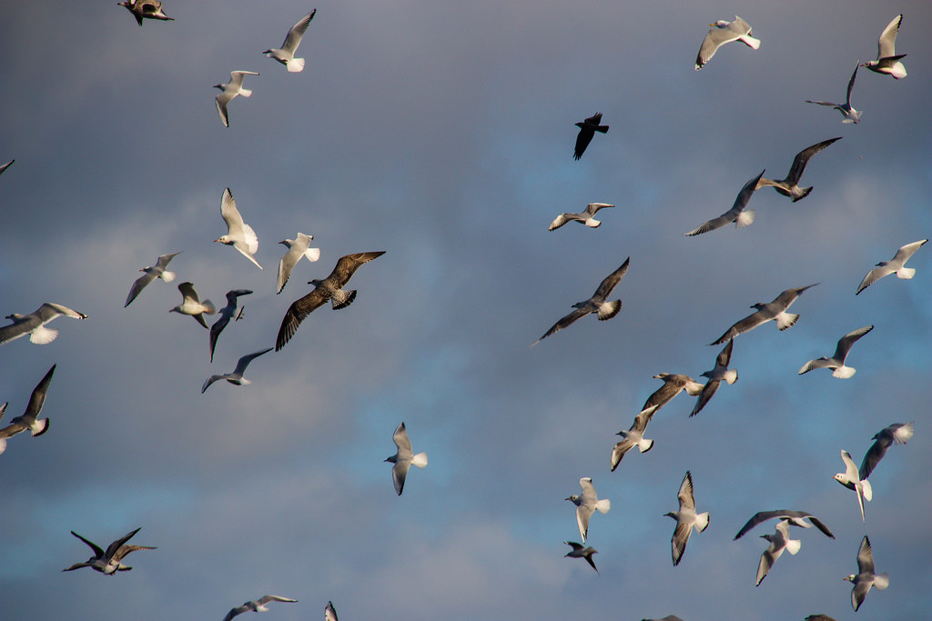
The sky may seem boundless, but for migrating birds, it’s a network of specific pathways—aerial highways that have guided avian journeys for millennia. These invisible routes crisscross our planet, connecting distant continents and ecosystems through the beating wings of billions of birds. Each year, these remarkable travelers navigate thousands of miles with astonishing precision, following pathways their ancestors established generations ago. What appears to us as random flight patterns reveals itself, through scientific study, as a sophisticated system of aerial corridors—complete with rest stops, weather considerations, and geographical landmarks. These migratory highways represent one of nature’s most spectacular phenomena, combining instinct, adaptation, and environmental cues in a ballet of survival that continues to captivate scientists and bird enthusiasts alike.
The Ancient Skyways: Flyways of the World
Across the globe, birds follow several major migration routes known as flyways—essentially superhighways in the sky that connect breeding grounds to wintering territories. There are eight recognized global flyways: the Pacific Americas, Mississippi Americas, Atlantic Americas, East Atlantic, Black Sea/Mediterranean, East Asia/Australasia, Central Asia, and West Asia/East Africa flyways. Each of these massive corridors serves millions of birds from hundreds of species, forming a planetary network of aerial passages that has remained relatively stable for thousands of years. These flyways aren’t random but have evolved to take advantage of favorable winds, abundant food sources, and geographical features that aid navigation. Along these routes, generations of birds have refined the most efficient pathways, creating traditions of migration that persist even as environments change.
Nature’s GPS: How Birds Navigate Their Aerial Highways
The navigational abilities of migratory birds represent one of the most sophisticated orientation systems in the animal kingdom. Many species can detect Earth’s magnetic field through special cells containing magnetite, essentially giving them a built-in compass that helps maintain proper direction during long journeys. Beyond magnetoreception, birds use celestial navigation, orienting themselves by the position of the sun during the day and stars at night—with some species even compensating for the moving position of stars across the sky. Visual landmarks such as mountain ranges, coastlines, and rivers serve as critical reference points along these aerial highways, particularly for experienced adult birds that have completed the journey before. Most incredibly, some species appear to have an internal map sense that combines these navigational tools with an inherited knowledge of their migratory route, allowing even first-time migrants to find their way along ancient pathways they’ve never traveled.
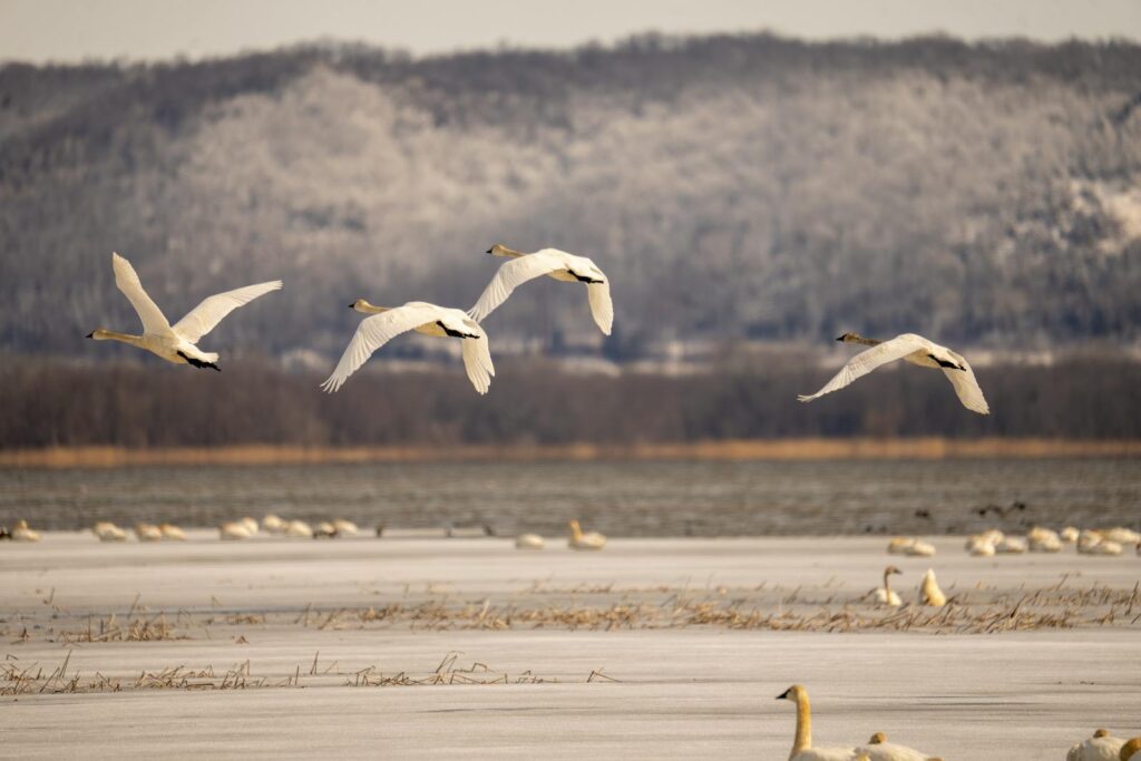
The Mississippi Flyway: America’s Bird River in the Sky

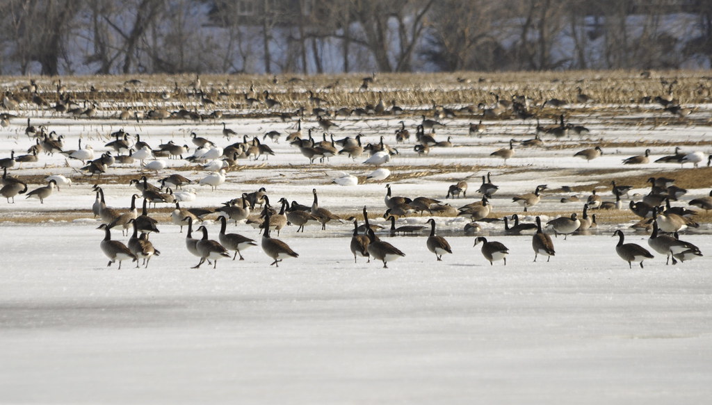
The Mississippi Flyway stands as one of North America’s most vital aerial corridors, serving as the primary migration route for approximately 40% of the continent’s waterfowl and shorebirds. This massive highway in the sky follows the course of the Mississippi River and its tributaries, creating a north-south passage that stretches from the Arctic tundra of Canada to the Gulf of Mexico and beyond to South America. Birds favor this route because it offers continuous waterways, minimal mountain barriers, and abundant wetland habitats that provide crucial refueling stations. Species ranging from tiny warblers to majestic sandhill cranes use this ancient thoroughfare, with some travelers covering the entire 3,000-mile route twice annually. The geographical features of the Mississippi basin have shaped this flyway for millennia, creating a migratory tradition that predates human civilization in North America.
Pit Stops and Refueling: Critical Stopover Sites
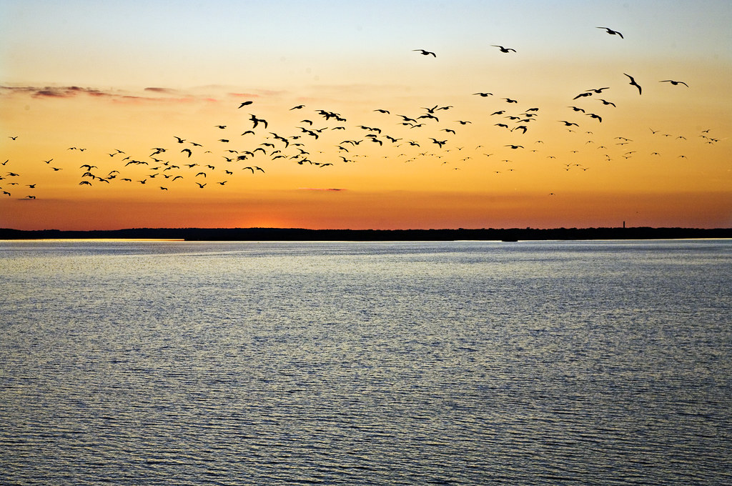
Just as human highways have rest areas, bird migration routes feature essential stopover sites where weary travelers can rest and replenish their energy reserves. These locations—often wetlands, coastlines, or forests rich in seasonal food—function as critical links in the migratory chain, allowing birds to build up the fat reserves necessary for the next leg of their journey. The Delaware Bay, for instance, serves as a crucial refueling station for thousands of shorebirds, particularly red knots, which time their spring migration to coincide with the spawning of horseshoe crabs, feeding on the protein-rich eggs. Similarly, the Platte River in Nebraska provides vital habitat for more than 500,000 sandhill cranes during their spring migration, offering both food resources and safe roosting areas. Research has shown that many birds can double their body weight at these stopover sites within just a week or two, demonstrating the incredible efficiency with which they transform available resources into flight fuel.
The East Asian-Australasian Flyway: The Marathon Route
Stretching from Arctic Russia and Alaska down to Australia and New Zealand, the East Asian-Australasian Flyway represents one of the world’s most challenging migration routes. This massive aerial corridor serves over 50 million migratory waterbirds from 250 different populations, including some of the planet’s most extreme long-distance travelers. The bar-tailed godwit, for instance, makes the longest known non-stop migration along this flyway, flying over 7,000 miles from Alaska to New Zealand without a single break for food or rest. This arduous journey takes them over the vast Pacific Ocean, where they must contend with changing weather patterns and the absence of potential landing spots. Along this flyway, coastal wetlands in countries like China, South Korea, and Japan serve as critical refueling stations, though many are now threatened by development and habitat loss. The marathon-like nature of this route has driven remarkable adaptations, with many birds developing enlarged hearts, efficient respiratory systems, and the ability to shrink non-essential organs during flight to reduce weight.
Shifting with the Seasons: Weather and Migration Timing
Weather conditions play a crucial role in determining when birds take to their aerial highways, creating a complex dance between atmospheric conditions and migration timing. Many species have evolved to detect subtle changes in barometric pressure, wind patterns, and temperature that signal favorable migration conditions, allowing them to time their departures to coincide with tailwinds that can significantly reduce energy expenditure. Radar studies have revealed that birds often delay migration during unfavorable weather and may embark en masse when conditions improve, creating spectacular “fallouts” when thousands of birds descend on stopover sites simultaneously after riding favorable winds. Climate change is now altering these ancient weather patterns, causing some species to adjust their migration schedules by departing earlier in spring or later in fall, while others struggle to adapt quickly enough. The timing of these seasonal movements along aerial highways represents a delicate balance between arriving early enough to claim prime breeding territory and avoiding dangerous weather conditions that could prove fatal.
Altitude Matters: The Vertical Dimensions of Bird Highways
Bird migration doesn’t just extend horizontally across the landscape but also vertically through different atmospheric layers, with species selecting specific altitudes that offer optimal conditions for their journey. While most songbirds migrate at relatively low altitudes of 500 to 2,000 feet, some travelers ascend to extraordinary heights, with bar-headed geese documented flying over the Himalayas at altitudes exceeding 20,000 feet, where oxygen levels are less than half those at sea level. Different species choose their cruising altitudes based on factors including wind assistance, temperature, visibility, and predator avoidance, often adjusting their height multiple times during a single night’s migration. Radar studies have revealed that birds frequently climb to higher elevations to catch favorable tailwinds or descend to avoid headwinds, demonstrating a sophisticated awareness of atmospheric conditions. This vertical stratification creates a kind of multi-level highway system in the sky, with different species occupying different layers of airspace as they travel along their migratory routes.
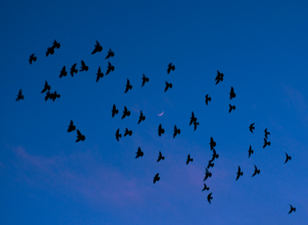
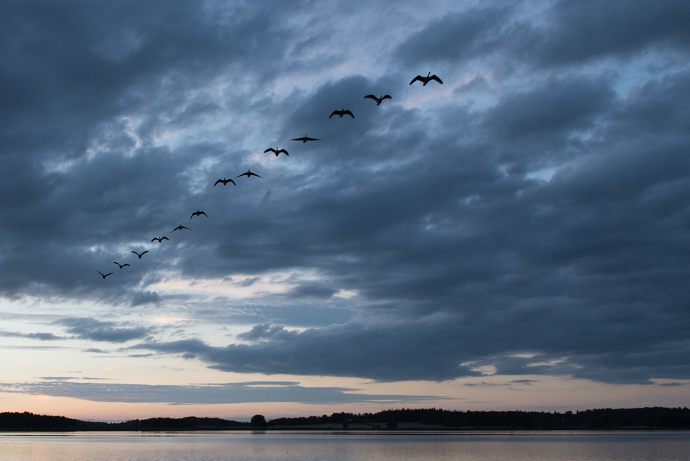
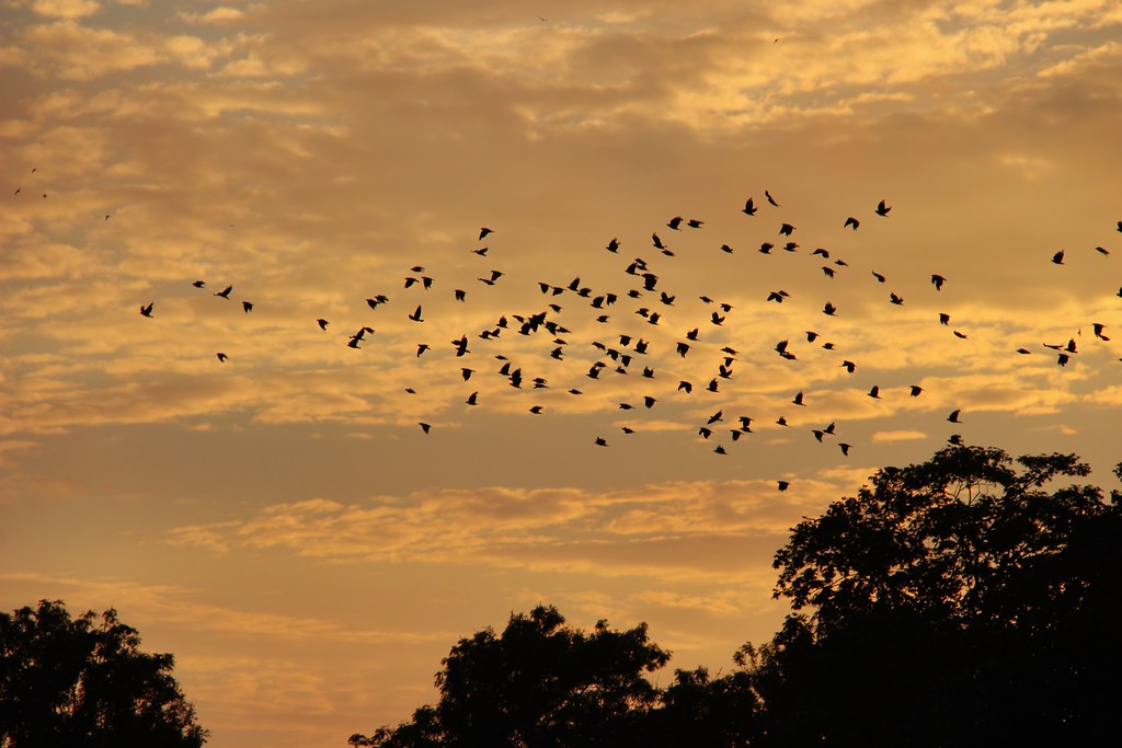
Nocturnal Expressways: The Night Shift of Bird Migration
While some larger birds like raptors and storks migrate during daylight hours, the majority of songbirds and shorebirds transform the night sky into busy aerial highways, departing shortly after sunset and landing before dawn. This nocturnal migration strategy offers several critical advantages, including cooler temperatures that prevent overheating during strenuous flight, calmer atmospheric conditions with less turbulence, and reduced exposure to predators like falcons and hawks that hunt by sight during the day. The darkness also provides celestial navigation cues from stars and the moon that many species rely upon for orientation. Scientists studying these nighttime movements using radar and acoustic monitoring have discovered that on peak migration nights, particularly during spring and fall, millions of birds may be aloft simultaneously across North America alone, creating rivers of life flowing unseen above sleeping humans. These nocturnal expressways become especially congested during optimal weather conditions, with birds sometimes flying wing-to-wing along preferred routes.
The Atlantic Flyway: Coastal Highway of the Americas

The Atlantic Flyway serves as a critical migration corridor that follows the eastern coastline of North and South America, connecting breeding grounds in the Canadian Arctic with wintering habitats as far south as Patagonia. This coastal highway provides essential resources for millions of shorebirds, waterfowl, and songbirds that take advantage of the productive estuaries, salt marshes, and barrier islands along their route. Many travelers on this flyway make remarkable journeys, including blackpoll warblers that undertake a non-stop flight of up to 1,800 miles over the open Atlantic Ocean between New England and South America, losing half their body weight in the process. The geography of this flyway—with its relatively unbroken coastline—creates a natural funnel that concentrates migrants, particularly at peninsulas like Cape May, New Jersey, and Cape Cod, Massachusetts, where birds gather before crossing water barriers. The Atlantic Flyway’s importance extends beyond birds to include monarch butterflies, which follow similar routes along the coast during their own multi-generational migrations between Canada and Mexico.
Overcoming Obstacles: Mountains and Seas in Migration Routes
The aerial highways birds follow often intersect with formidable geographical barriers that require specialized strategies to overcome. When confronting mountain ranges like the Alps or the Himalayas, many species either follow valleys that provide passage through the mountains or climb to altitudes where they can pass over them, often waiting for favorable winds to assist their crossing. Water barriers present different challenges, with some species like European robins and blackcaps taking detours of hundreds of miles to avoid crossing the Mediterranean Sea, while others like garden warblers prepare by nearly doubling their weight with fat reserves before attempting the crossing. Radar studies have revealed that birds crossing these barriers often adjust their flight behavior, flying higher, faster, and with greater determination than during other portions of their journey. Some species have evolved remarkable physiological adaptations for these crossings, including the ability to sleep with one brain hemisphere at a time during long over-water flights, allowing them to remain alert for dangers while still obtaining necessary rest.
Light Pollution: Traffic Jams on Bird Highways

As human development expands across the landscape, artificial light at night has emerged as a significant disruptor of avian migration highways, creating hazardous conditions for birds traveling along their ancient routes. Bright city lights can disorient nocturnal migrants, drawing them off course and into urban areas where they face numerous threats including collisions with buildings, increased predation, and depleted energy reserves as they circle illuminated structures. Studies have documented mass mortality events involving thousands of birds during foggy or cloudy nights when low cloud ceilings amplify the disorienting effects of light pollution. Research using weather radar has revealed that migrating birds become concentrated over brightly lit cities, creating artificial “traffic jams” in the sky that disrupt the efficiency of their aerial highways. Conservation initiatives like “Lights Out” programs, which encourage buildings to dim or extinguish unnecessary lighting during peak migration periods, have demonstrated significant success in reducing bird deaths and helping maintain the integrity of these critical aerial corridors.
Tracking the Highways: Modern Technology Reveals Ancient Routes
Advances in tracking technology have revolutionized our understanding of bird migration highways, transforming them from mysterious phenomena into precisely mapped routes that can be studied in unprecedented detail. Lightweight geolocators weighing less than a paperclip can now record a bird’s position throughout its annual cycle, while satellite transmitters provide real-time location data for larger species, allowing scientists to track individual birds across continents and oceans. These technologies have revealed surprising discoveries, such as the 7,500-mile non-stop flight of a satellite-tagged bar-tailed godwit or the figure-eight migration pattern of Arctic terns that maximizes tailwind assistance. Weather radar networks across continents now capture the density, direction, and speed of migrating birds on a massive scale, creating nightly “traffic reports” for these aerial highways that help conservationists identify critical pathways and stopover sites. Perhaps most excitingly, the Icarus Initiative, which uses the International Space Station to track tagged animals, promises to reveal migration routes of smaller species across their entire global journeys, potentially uncovering aerial highways we’ve never before documented.
Conserving the Skyways: Protecting Bird Highways for Future Generations
The preservation of migratory bird highways requires conservation efforts that span continents, as threats at any point along these routes can jeopardize entire populations. International agreements like the Convention on Migratory Species provide frameworks for protecting these aerial corridors, while initiatives such as the Western Hemisphere Shorebird Reserve Network identify and safeguard critical stopover sites along major flyways. Conservation organizations increasingly focus on “full life cycle” conservation that addresses habitat needs at breeding grounds, wintering areas, and all stops in between, recognizing the interconnected nature of these aerial highways. Climate change poses a particular challenge, as shifting weather patterns and altered timing of food availability can disrupt the synchronization that migratory birds depend on. Recent research suggests that protecting a network of alternative stopover sites may provide crucial flexibility for birds as their traditional highways become less reliable. By preserving these ancient skyways, we not only ensure the survival of migratory species but also maintain ecological connections that link distant ecosystems and enrich our own experience of the natural world.
Conclusion
The aerial highways that guide birds across our planet represent one of nature’s most remarkable systems—a network of pathways that has evolved over millennia and continues to adapt to our changing world. These invisible corridors in the sky connect distant ecosystems, transfer nutrients and energy across continents, and sustain the life cycles of thousands of species. As we deepen our understanding of these migratory routes through advanced tracking technologies and international research, we gain insight not just into the extraordinary navigational abilities of birds but also into the health of our global environment. The preservation of these skyways requires unprecedented cooperation across borders and cultures, reminding us that conservation, like migration itself, transcends human boundaries. By protecting these ancient highways and the weary travelers who depend on them, we safeguard not only biodiversity but a planetary heritage of movement and connection that predates our own existence.